What is LIDAR AUTOMOTIVE
LIDAR, which stands for Light Detection and Ranging, is a technology used in automotive applications to create high-resolution maps of the surrounding environment. LIDAR sensors emit laser pulses and measure the time it takes for the light to bounce back, allowing for accurate 3D mapping of objects and obstacles. In the automotive industry, LIDAR technology is crucial for enabling autonomous vehicles to navigate safely and efficiently by providing real-time data on the vehicle's surroundings. This advanced sensing technology plays a key role in enhancing the safety and performance of self-driving cars by detecting and avoiding potential hazards on the road.
The Main Technology in LIDAR AUTOMOTIVE
LIDAR, which stands for Light Detection and Ranging, is the main technology used in automotive applications to enable autonomous driving and advanced driver-assistance systems. LIDAR sensors emit laser pulses and measure the time it takes for the light to bounce back from surrounding objects, creating detailed 3D maps of the environment. This technology provides highly accurate and real-time data on the vehicle's surroundings, allowing for precise detection and tracking of objects such as other vehicles, pedestrians, and obstacles. By integrating LIDAR into automotive systems, vehicles can navigate complex environments, make informed decisions, and enhance overall safety on the road. Brief Answer: LIDAR technology in automotive applications uses laser pulses to create detailed 3D maps of the vehicle's surroundings, enabling autonomous driving and advanced driver-assistance systems for enhanced safety and navigation capabilities.
Applications of LIDAR AUTOMOTIVE
LIDAR (Light Detection and Ranging) technology has revolutionized the automotive industry by enabling advanced driver assistance systems (ADAS) and autonomous driving capabilities. LIDAR sensors use laser pulses to create high-resolution 3D maps of a vehicle's surroundings, allowing for precise detection of objects, pedestrians, and other vehicles in real-time. This technology is crucial for enhancing safety on the road, improving navigation systems, and enabling features such as adaptive cruise control, lane-keeping assistance, and automatic emergency braking. Additionally, LIDAR plays a key role in the development of self-driving cars, providing essential data for accurate localization and mapping. Overall, the applications of LIDAR in automotive are instrumental in shaping the future of transportation towards safer and more efficient mobility solutions.
Benefits of LIDAR AUTOMOTIVE
Lidar technology in automotive applications offers a multitude of benefits that enhance safety, efficiency, and overall driving experience. By providing accurate and real-time data on the vehicle's surroundings, lidar systems enable advanced driver assistance systems (ADAS) to detect obstacles, pedestrians, and other vehicles with high precision. This helps in preventing collisions and improving overall road safety. Lidar also plays a crucial role in enabling autonomous driving capabilities by creating detailed 3D maps of the environment, allowing vehicles to navigate complex road scenarios with ease. Additionally, lidar technology can improve traffic flow, reduce congestion, and enhance fuel efficiency by optimizing route planning and vehicle speed control. Overall, the integration of lidar in automotive systems brings significant advancements in safety, convenience, and efficiency for drivers and passengers alike.

LiDAR in Construction Monitoring
Neuvition's Titan series LiDAR sensors offer high-precision 3D scanning capabilities
ideal for construction site monitoring. The Titan M1 series, with its long-range and
high-resolution features, can capture detailed site data for accurate progress tracking
and volumetric measurements.
Neuvition LiDAR Products Overview
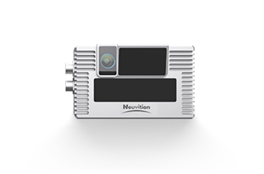
Titan S2
Specialized for specific industrial uses.
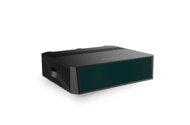
NeuX1
Next-generation LiDAR technology with enhanced capabilities.
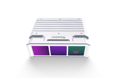
Titan M1 Series
Long-range, high-resolution LiDAR sensors for various applications.
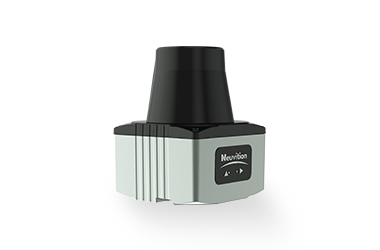
Titan W1
Designed for wide-angle scanning in challenging environments.
Titan P1
Compact and versatile for mobile and robotics applications.
Neuvition LiDAR Products Overview
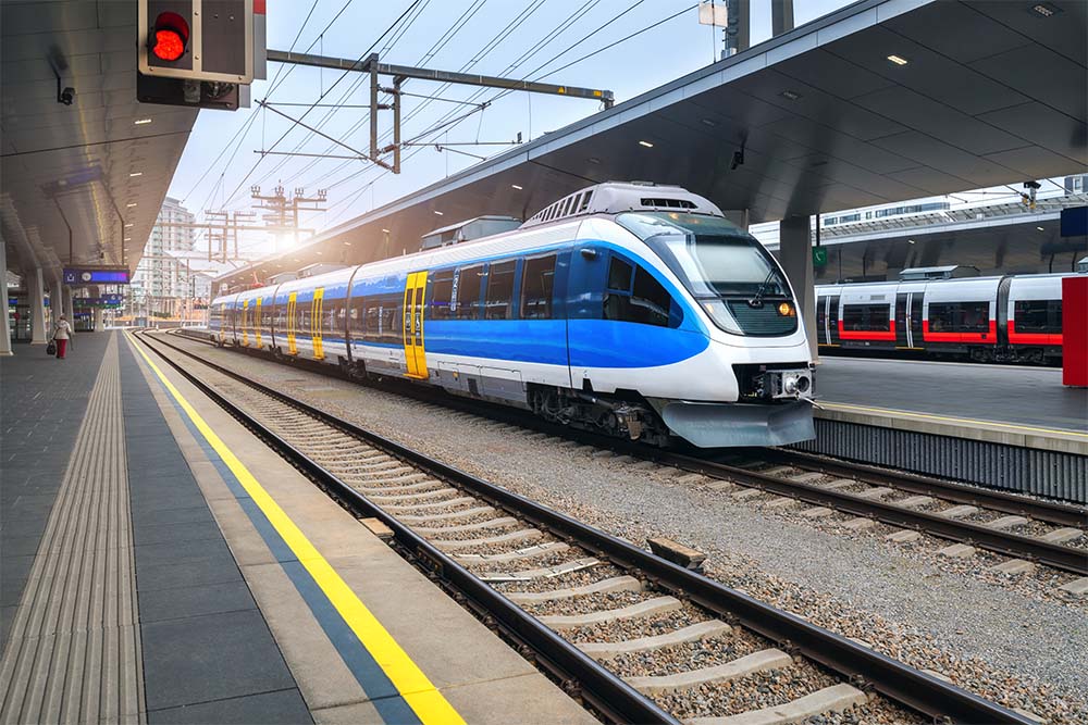
Railway Collision Avoidance
Enhancing safety in rail transportation.

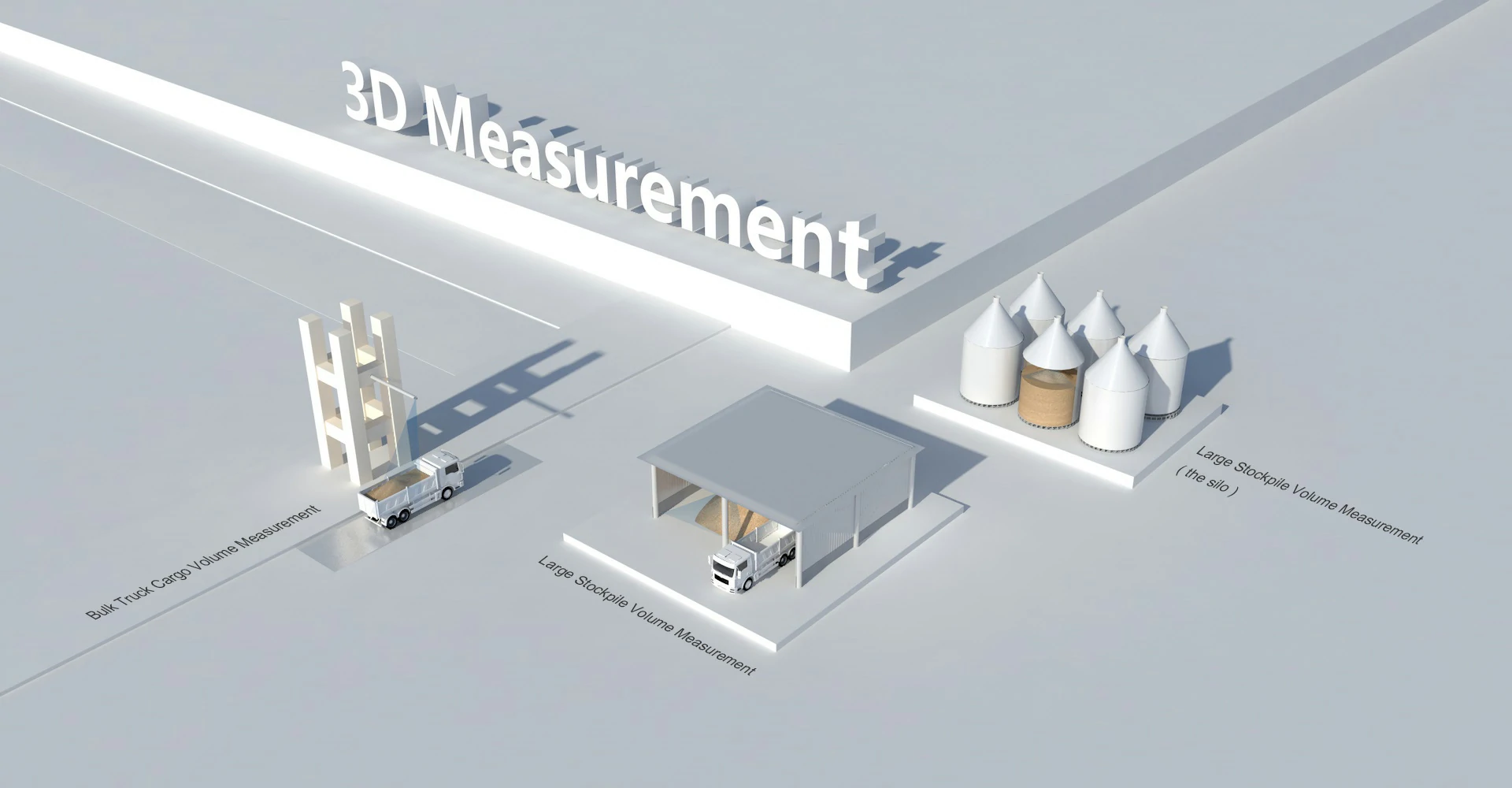
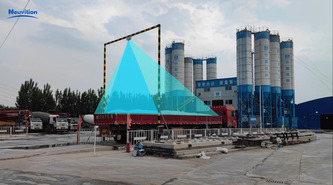
Volume Measurement
Accurate 3D volume calculations for industries like mining and construction.

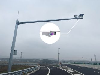
Smart Highway
Improving road safety and traffic management.

Robotics
Enabling precise navigation and object detection for autonomous robots.
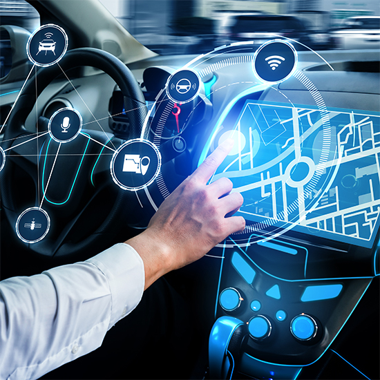
Autonomous Driving
Advanced sensing for self-driving vehicles.
Application Areas of LiDAR
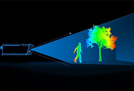
Benefits of Using LiDAR

High accuracy and
precision in 3D mapping

Real-time data
collection and processing

Ability to penetrate vegetation
and capture ground topography

Efficient large-scale
surveying and mapping

Enhanced safety in
autonomous systems

Improved decision-making
with detailed spatial information
Software Solutions for LiDAR
Neuvition provides software solutions to complement its hardware, including point cloud processing and analysis
tools, real-time visualization software, a data integration platform for enterprise applications, and customized
algorithms tailored to specific industry needs.

Success Stories
MetroInnovate Urban Solutions improved traffic flow by 15% after implementing Neuvition's Smart Highway system. Emily Parker, the Director of Smart City Development, played a key role in deploying this system to enhance urban traffic management and reduce congestion.

BuildMaster Construction reduced project timelines by 20% using Neuvition's LiDAR-based site monitoring solution. Michael Thompson, the COO, led the adoption of this technology, focusing on improving efficiency and project management.

DeepCore Mining increased excavation efficiency by 25% with Neuvition's volume measurement solution. Robert Lin, the Head of Operations, was instrumental in integrating this technology to optimize resource extraction and operational productivity.

FAQ


Contact Us
If you have any questions or suggestions, please leave a message, we will get in touch with you within 24 hours!