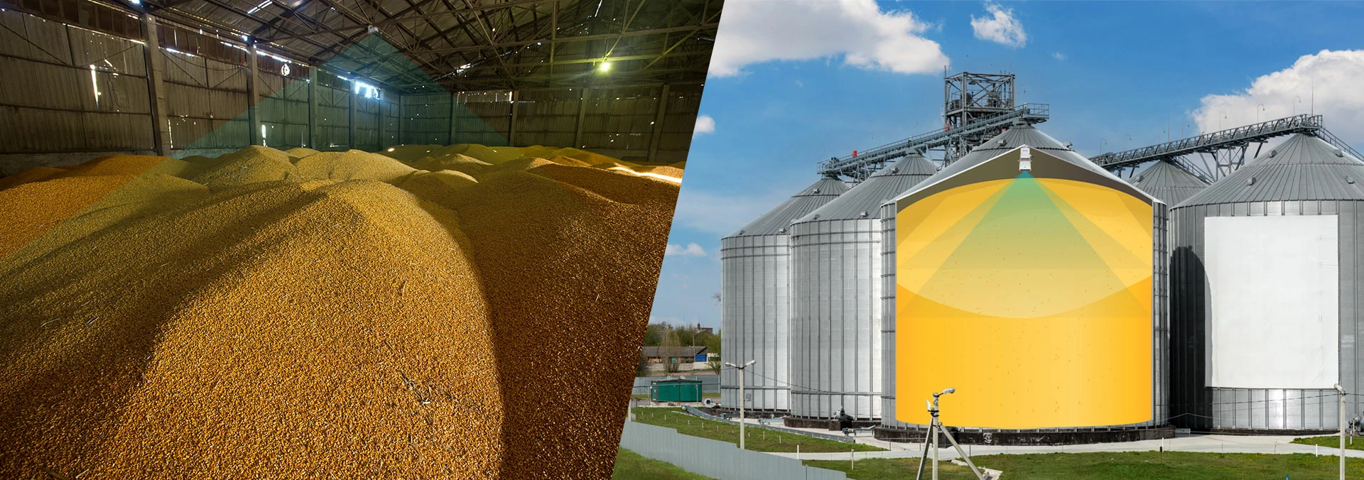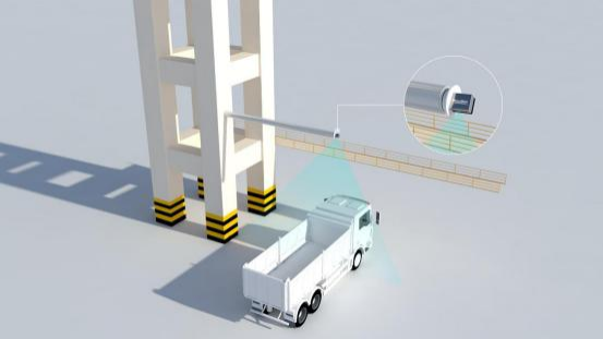
What are Lidar Volume Measurement?
Lidar volume measurement is a technique used to accurately determine the volume of objects or spaces by utilizing light detection and ranging technology. Lidar, which stands for Light Detection and Ranging, works by emitting laser pulses and measuring the time it takes for the light to bounce back after hitting an object. By analyzing the return signals, Lidar can create detailed 3D maps of the surrounding environment, allowing for precise measurements of volume. This technology is commonly used in various industries such as forestry, agriculture, construction, and urban planning to efficiently calculate the volume of materials, terrain, buildings, and other structures. In summary, Lidar volume measurement is a sophisticated method that provides accurate and reliable data for determining the volume of objects or spaces.
Why are Lidar Volume Measurement Important?
Lidar volume measurement is important for a variety of reasons. One key reason is that it allows for accurate and precise measurements of three-dimensional objects and spaces, which can be crucial in various industries such as forestry, agriculture, construction, and urban planning. Lidar technology enables the collection of detailed data on the size, shape, and volume of objects, helping to optimize resource management, monitor changes over time, and improve decision-making processes. Additionally, lidar volume measurement can enhance safety by providing valuable information for hazard assessment and disaster response planning. In summary, lidar volume measurement is important because it enables efficient and effective analysis of spatial data, leading to better-informed decisions and outcomes across different sectors.
Technologies Used in Lidar Volume Measurement
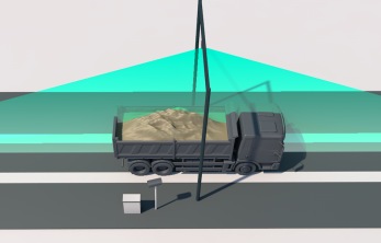
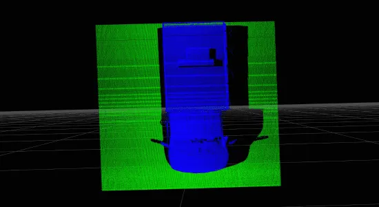
Lidar, or Light Detection and Ranging, technology is commonly used for volume measurement in various industries such as forestry, mining, and construction. The technology works by emitting laser pulses towards a target area and measuring the time it takes for the pulses to return, allowing for accurate distance calculations. Lidar volume measurement systems typically consist of a laser scanner, GPS receiver, inertial measurement unit, and data processing software. These components work together to create detailed 3D models of the target area, enabling precise volume calculations. Overall, Lidar technology offers a fast, efficient, and non-invasive method for measuring volumes in a wide range of applications.
Recent Advancements in Lidar Volume Measurement
Recent advancements in Lidar volume measurement technology have revolutionized the way we gather data on three-dimensional objects and environments. Lidar, which stands for Light Detection and Ranging, uses laser pulses to accurately measure distances and create detailed 3D models of objects or landscapes. With improvements in Lidar sensors and software algorithms, researchers and industries can now capture more precise and comprehensive volume measurements of various structures such as buildings, forests, and even underground features. These advancements have enabled better planning and management of resources, improved disaster response capabilities, and enhanced environmental monitoring efforts. In summary, recent advancements in Lidar volume measurement have significantly enhanced our ability to understand and interact with the world around us.
Application Areas of Lidar Volume Measurement
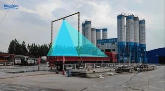
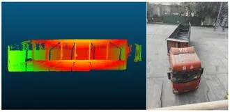
Lidar volume measurement technology is widely used in various application areas such as forestry, agriculture, construction, and environmental monitoring. In forestry, Lidar volume measurement is utilized for accurate estimation of tree volumes, biomass assessment, and forest inventory management. In agriculture, it helps in crop monitoring, yield prediction, and precision farming practices. In construction, Lidar volume measurement is used for site planning, progress monitoring, and as-built verification. Additionally, in environmental monitoring, it aids in assessing land cover changes, monitoring coastal erosion, and studying vegetation dynamics. Overall, Lidar volume measurement plays a crucial role in enhancing efficiency, accuracy, and sustainability across different industries and sectors. Brief Answer: Lidar volume measurement technology finds applications in forestry, agriculture, construction, and environmental monitoring for tasks such as tree volume estimation, crop monitoring, site planning, and land cover assessment, contributing to improved efficiency and sustainability in various industries.
Neuvition Volume Measurement Solution
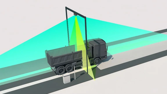
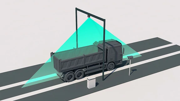
Neuvition offers a comprehensive volume measurement solution designed to meet the needs of various industries, including truck, warehouse, and outdoor pile measurement. Our solutions leverage advanced technologies to provide accurate, reliable, and cost-effective volume measurement data, enabling businesses to optimize their operations and make data-driven decisions.
Neuvition Single Line LiDAR Solutions
Neuvition's Single Line LiDAR solutions, including the Titan M1 SL, Titan P1, and Titan W1 with PTZ, are designed to provide accurate and efficient volume measurement in various applications. These solutions combine high-resolution laser scanning with advanced software to deliver precise data and user-friendly interfaces, making volume measurement more accessible and effective than ever before.
FAQ


Contact Us
If you have any questions or suggestions, please leave a message, we will get in touch with you within 24 hours!
