How Does LiDAR-based Aircraft Parking Guidance System Work?
Author: Release time:2021-05-24 02:33:43
1. Application background
At present, the guidance of civil aircraft parking generally adopts Visual Docking Guidance System, which refers to a device set on the gate of the parking apron to detect the approaching route of the aircraft and to visually indicate the pilot the position information that the aircraft should be parked at. However, this device can only detect and display simple location information. With the dramatic improvement in LiDAR technology, the world is trying to explore more innovative applications of the LiDAR. The LiDAR-based aircraft parking system is gradually being noticed as a new alternative system!

With the continuous improvement of LiDAR in wavelength, algorithm, resolution, detection capability, and continuous cost reduction, LiDAR becomes an alternative solution to remedy the camera’s limitation in the depth information and the detection capability in rainy and snowy weather and night. The LiDAR-based aircraft parking system can provide real-time information such as the size of the aircraft, the taxiing speed of the aircraft, the flight direction and distance of the aircraft, and so on. This LiDAR-based aircraft parking system can truly realize the functions of size matching, target tracking, precise positioning, and safety protections, and early warning!
Neuvition’s solid-state LiDAR technology not only provides higher-precision, faster, comprehensive, and reliable real-time detection capabilities but also helps the aircraft parking guidance system increase efficiency and reduce costs. Neuvition LiDAR will improve the safety factor and operating efficiency of the whole aircraft parking guidance system, and save labor costs, reduce accidents.
2. Application introduction
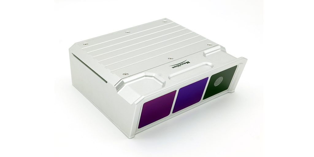
Neuvition Titan M1 LiDAR can detect objects at a distance of 250 meters, with a high resolution of 480 lines in the longitudinal direction, and can achieve a detection range of 120°through the point cloud registration of 3 pieces of LiDAR. At the same time, the LiDAR point cloud also carries reflectance information and RGB information. This additional information can effectively guarantee the accuracy of object recognition during the point cloud segmentation in the later stage. This LiDAR-based aircraft parking guidance system can realize the following functions:

1. The system can provide real-time information such as aircraft attitude detection, accurate positioning of the aircraft taxiing into the apron through the depth information from the LiDAR. When the system detects that the aircraft is deviating from the taxiway centerline, it will promptly remind the pilot to adjust the position.
2. The system can detect the taxiing speed of the aircraft, and the distance information between the aircraft and the airport terminal in real time, to help the pilot better control the taxiing speed and facilitate the management of the control center.
3. Through the neural network learning and the detected contour of the aircraft, it can automatically recognize the aircraft model, to avoid the aircraft’s wrong parking position due to the pilot’s operation error.
4. In the control center, the status of the aircraft on the parking apron is displayed in real time through animation effects. The staff can remotely manage the aircraft on the airport apron.